Saxis Island Historic District Survey
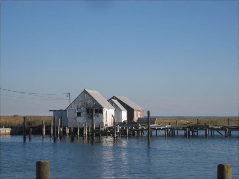
Hanbury Preservation Consulting conducted a survey of the Saxis Island Historic District, funded by the Hurricane Sandy Disaster Relief Assistance Program for Historic Properties, in anticipation of a National Register nomination authored by Penne Sandbeck of Hanbury Preservation Consulting and David Lewes of the William and Mary Center for Archaeological Research. The survey included 209 primary resources including the WPA funded town dock and harbor of refuge.
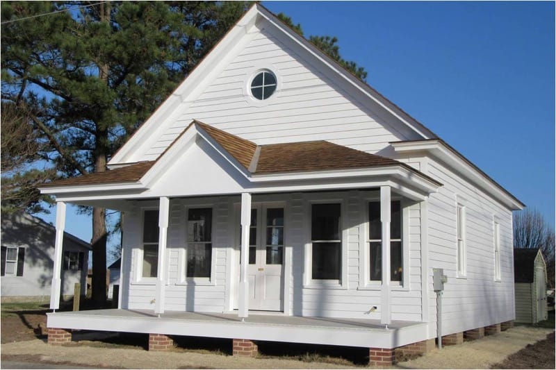
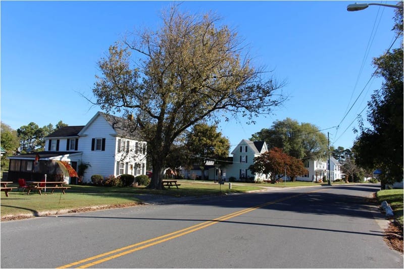
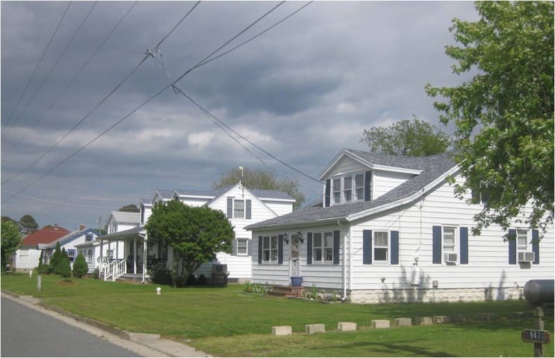
The 353-acre Saxis Island Historic District encompasses the Town of Saxis and adjacent areas on a narrow peninsula along the Eastern Shore of the Chesapeake Bay in Accomack County, Virginia. North to south, Saxis is less than two miles long and less than two thousand feet at its widest. Although remnants of colonial-period boundary ditches survive, the earliest extant building dates to the 1870s. By then, a transition from small-scale agriculture to the seafood industry had been underway for two decades. The seafood industry on Saxis boomed at the beginning of the twentieth century, with the 1903 construction of an offshore wharf at the edge of the shipping channel. The district is considered significant as a waterman’s community with an uninterrupted tradition of seafood harvesting since the mid-nineteenth century. It contains historic buildings associated with the heyday of the seafood industry as well as modest dwellings, commercial buildings, associated outbuildings, and a handful of public buildings. Also notable are its nineteen recorded cemeteries including are family graveyards, highly visible in the yards of residences as clusters of concrete burial vaults.


